Mt Teneriffe via Boot trail beyond Kamikaze Falls
#10, 10 miles, 3,888 ft elevation
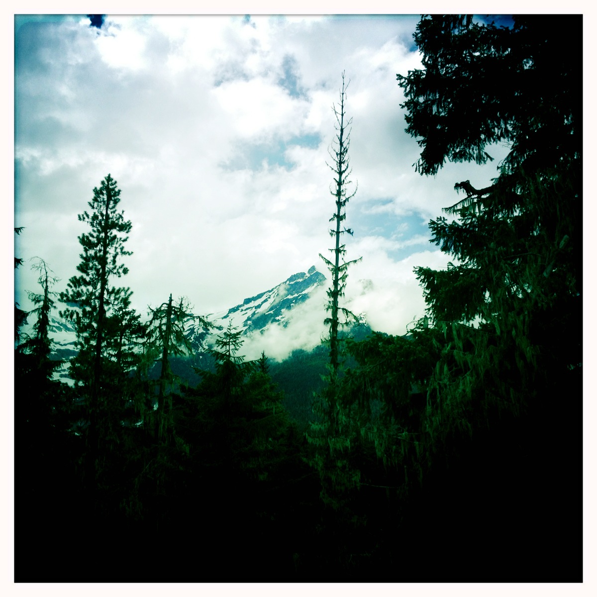
To attempt a climb on a foggy day that is known for its incredible views can be somewhat of a head scratcher. For some people its all about the vista reward, but today the reward was in the journey, and the spectacularly eerie voyage through a forest that holds all of the treasure in her beauty not her conquer.

Trailhead to Mt Teneriffe begins on an old logging road (elevation 950 ft) and continues for this first mile before the trailhead towards Kamikaze falls. Keep your eye out for the trail on the right because markers are lacking for this junction. If you miss the turn and continue on you will bypass the falls completely and stay on the 6 miles of logging road to the Teneriffe summit (or over to Si).

I absolutely love days like this, when the fog layer is real low and you can almost take a bite out of it. Most people look at days like this as an excuse to stay inside but with the rain, fog and wind I find adventure.
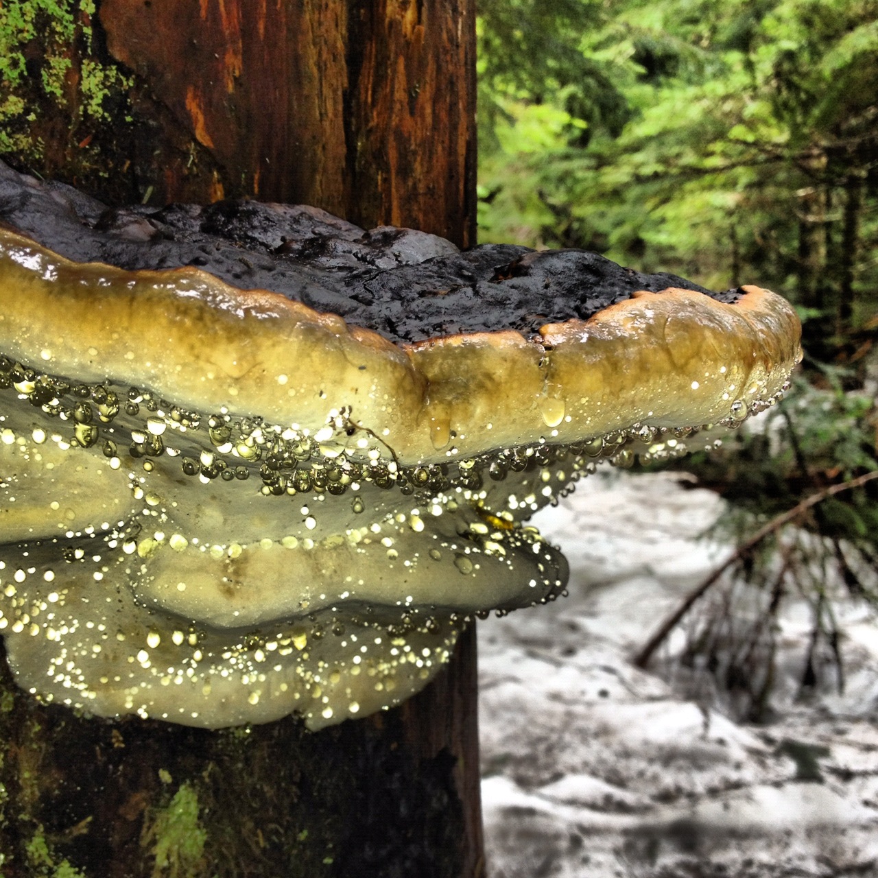
From the logging road you enter a lush forest dense with trees and unfurling ferns for a steady climb of tight switchbacks along the raging creek. There are many spots to stop and marvel at the heavy late spring flow. As you approach just beneath the falls you have to wait your turn to allow for some people to come down. The landing to stand under the falls can only hold a few people at a time.

From the main trailhead to the falls is 3.2 miles and elevation is 2500. From my map I can clearly see its a steep but straight shot to the summit vs the boring 6 miles of logging road.
I had talked to the guy at Marmot Mountaineer store (where I get all my maps) and he said he's heard of a boot trail behind the falls but never done it. So of course I was curious and wanted to find this unmarked trail.
I wasn't totally unaware of what I was getting myself into but I was blindly heading up a steep mountain with brand new hiking boots purchased the day before and not properly broken in. And the thigh burning begins for a relentless hour and a half.

For about 500 ft you almost have to claw your way into the dirt with your nose inches from the ground until you reach a very narrow ridge This ridge feels like you are hiking on a knife blade. On either side of you is a straight shot dropping hundreds of feet on either side. If you are afraid of heights this is not for you.
At this point I am thinking what are you doing...but I cant stop. My whole body feels like it is buzzing with anticipation and adrenaline. I can only take about 10 steps before I have to stop and turn around to admire the climb and catch my breath. My calves are on fire and screaming for me to stop. But I cant. *As a recap: from the falls the elevation gain is 2388 feet in under a mile.

After climbing on the ridge for what felt like hours, I ran into the only other soul (from the falls) on his way down. It gave me the slight reassurance to keep pushing on.
The higher I climbed the more aware I became to realize without treking poles this trail on the way down would not be safe in the rain. I was already loosing my foot hold from the dirt giving way. And the climber I had passed told me I could take the logging road down as he had run into many hikers at the summit who were doing the same thing. Sounded easy enough.
 |
| the clouds parted for a brief moment near the summit |
As I hit the snow line the boot trail was easily distinguishable. But after about 20 min in very deep snow I had a moment of inteligence. I was probobly being a total idiot right now. The snow looked very stable and was not worried of an avalanche in this specific spot I was hiking but the thought of it made me second guess myself.
As a solo hiker your senses in elements like this become heightened and your own strength and sense of fragility seem to be your main focus. It went from casual hike to "survival mode" if need be. The tree wells to the earth looked to be over 6 feet so falling in one of them would not be good. When you border on seasonal shifts you have to always be aware of conditions and the thawing snow can quickly turn on you.
As I near the summit (4788 ft) and regain footing on solid earth again I am mixed with a sense of relief and pride. Nothing about what I just did felt easy and my body was nearing exhaustion.
 |
| searching for the boot trail off the summit |
So when I made it to the summit and saw a couple sitting atop it and I was so relieved not to be alone. The weather had started to turn, rain mixed with ice and after sweating for 4 hours my base layers were drenched. I was trying to add some dry layers as the rain came down and Jeff and Jenny were getting ready to leave. They kindly allowed me to join them.
I didn't even take a moment to eat some food because all I wanted to do was get down.
Jeff and Jenny asked me If I knew how to get to the logging road? Ummm. That would be "No". I was hoping they knew.
 |
| Jeff finds some tracks |
So we all 3 worked together to make our way down the very steep trees standing between us and a well defined and dry logging road.
As we made our way through the rain, the fog and everything in between we bonded. Swapping stories and laughing our way off the mountain.
 |
| once on the ledge the trail is well defined |
 |
| dry trail and parting clouds rounds out a 7 hour hike |


 Scatter Creek was flowing strong and over the road fairly swiftly.
With
a high clearance vehicle would have been no problem but for me I had to
head down stream and make my way over a fallen tree. It was at the
moment I was crossing the creek I realized I had a friend quietly
following me. This deer was quite curious with me and followed me,
shockingly close, for at least a 1/4 mile.
Scatter Creek was flowing strong and over the road fairly swiftly.
With
a high clearance vehicle would have been no problem but for me I had to
head down stream and make my way over a fallen tree. It was at the
moment I was crossing the creek I realized I had a friend quietly
following me. This deer was quite curious with me and followed me,
shockingly close, for at least a 1/4 mile.


 Trailhead to Mt Teneriffe begins on an old logging road (elevation 950 ft) and continues for this first mile before the trailhead towards Kamikaze falls. Keep your eye out for the trail on the right because markers are lacking for this junction. If you miss the turn and continue on you will bypass the falls completely and stay on the 6 miles of logging road to the Teneriffe summit (or over to Si).
  I absolutely love days like this, when the fog layer is real low and you can almost take a bite out of it. Most people look at days like this as an excuse to stay inside but with the rain, fog and wind I find adventure.
 From the main trailhead to the falls is 3.2 miles and elevation is 2500. From my map I can clearly see its a steep but straight shot to the summit vs the boring 6 miles of logging road.
 For about 500 ft you almost have to claw your way into the dirt with your nose inches from the ground until you reach a very narrow ridge This ridge feels like you are hiking on a knife blade. On either side of you is a straight shot dropping hundreds of feet on either side. If you are afraid of heights this is not for you.
 After climbing on the ridge for what felt like hours, I ran into the only other soul (from the falls) on his way down. It gave me the slight reassurance to keep pushing on.


